GIS LBAndClustering.png
GIS_LBAndClustering.png (705 × 523 pixels, file size: 34 KB, MIME type: image/png)
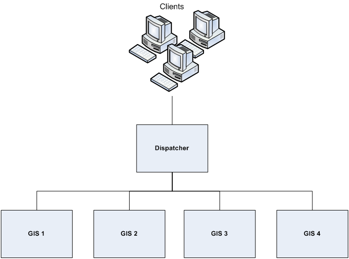
= frame|center| GIS SOAP 7.6 HA deployment using a GIS cluster
File history
Click on a date/time to view the file as it appeared at that time.
| Date/Time | Thumbnail | Dimensions | User | Comment | |
|---|---|---|---|---|---|
| current | 13:15, September 17, 2013 |  | 705 × 523 (34 KB) | Sbogard (talk | contribs) |
- You cannot overwrite this file.
File usage
The following 4 pages link to this file:
Metadata
This page was last edited on September 17, 2013, at 13:16.
Comments or questions about this documentation? Contact us for support!

